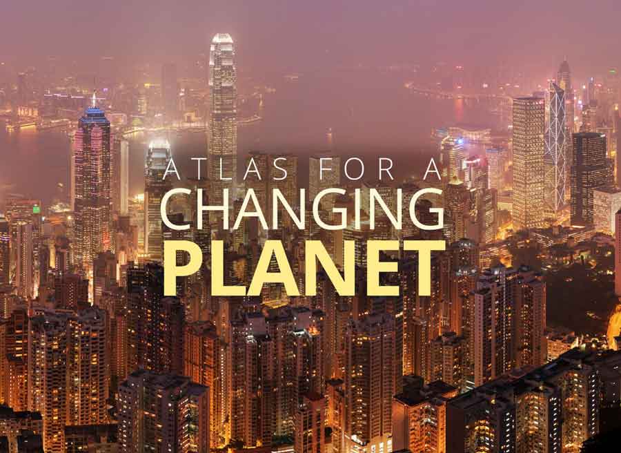
With the Atlas for a Changing Planet Story Map, scientists, policy makers, planners and activists can examine detailed spatial information critical for adapting to a warmer future.
With the Atlas for a Changing Planet Story Map, scientists, policy makers, planners and activists can examine detailed spatial information critical for adapting to a warmer future.
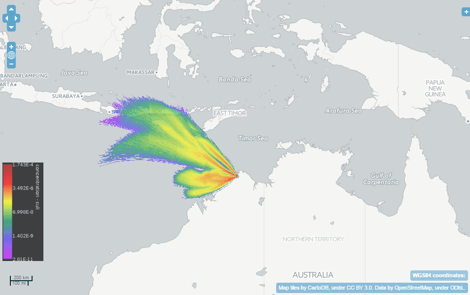
A collaboration among Australia's national science agency (CSIRO), Bureau of Meteorology and Intersect created TAPPAS (Tool for Assessing Pest and Pathogen Aerial Spread), an online software tool for modeling the wind dispersal of living organisms.
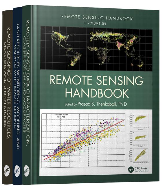
The newly published, three-volume Remote Sensing Handbook includes remote-sensing topics written by more than 300 leading global experts.
December 1, 2015 — Carlos Gonzales from 3D Laser Mapping will explore the capabilities of combining airborne laser scanning and photography as an approach to measure coastal slope movements, during his talk at MMT in Sydney, Australia. (9-11th December, 2015)...
December 1, 2015 — GeoSignum is excited to announce the launch of the GeoSignum Pointer Web Platform (Release Candidate 1.0), an unique solution that automates the processing of Lidar data in the cloud. With the GeoSignum Pointer web platform, users can now...
December 1, 2015 — Paris — Google Maps and FAO have agreed to work closely together to make geospatial tracking and mapping products more accessible, providing a high-technology assist to countries tackling climate change and much greater capacity to experts...
Redlands, California— December 1, 2015 — Esri, the world leader in geographic information system technology, released an interactive map illustrating the earth's natural and human systems and how they have changed—and will change—over time. With the Atlas for...
December 1, 2015 — GOLDSBORO, N.C. – Geographic Technologies Group (GTG) — GIS has become a mature technology. Over the past two decades, most cities in the United States have implemented a GIS program. The City of Boynton Beach, Florida is no exception. They...
December 1, 2015 — Using statistically modeled maps drawn from satellite data and other sources, U.S. Geological Survey scientists have projected that the near-surface permafrost that presently underlies 38 percent of boreal and arctic Alaska would be reduced by 16...
Montreal, Canada, December 1st, 2015 — SimActive Inc., a world-leading developer of photogrammetry software, has been selected by the United States Environmental Protection Agency (USEPA). They are using Correlator3DTM to create 3D datasets of vegetation for input...
