December 16, 2015 — Earth-i (www.earthi.space), the innovative distributor of imaging and data services from the DMC3 / TripleSat constellation, has new detailed sample imagery available for assessment by customers who wish to take advantage of the constellation’s...
European Space Imaging Wins Additional Supply Contract for European Commission
December 16, 2015 — European Space Imaging announced today that the company has signed an additional multi-year framework supply contract with the European Commission for the provision of very high-resolution (VHR) satellite data and associated services in support...
Carrie Stokes, Aaron Wolf to Receive AAG Gilbert White Public Service Honors
December 16, 2015 — The 2016 AAG Gilbert White Public Service Honors are awarded to Carrie Stokes and Aaron Wolf. Carrie Stokes has been selected as one of two recipients of this year’s AAG Gilbert White Public Service Award. Stokes epitomizes the ‘geographer...
CartoConsult Partners with Proteus to Harness the Power of New Laser Scanning Technology
Swindon, UK, December 16, 2015 — CartoConsult has signed a joint venture agreement with Proteus to develop and promote the use of the latest laser scanning technology. As new systems are launched to market, such as handheld mobile mappers, UAV mounted sensors and...
WordStat 7.1: Geospatial Intelligence Meets Text Analytics
December 16, 2015 — Provalis Research announces today the release of a new version of its powerful text analytics software, WordStat 7.1. The software release includes a geographic information system (GIS) mapping and data editing module, allowing businesses to...
Boundless Participates in Release of GeoNode 2.4
New York, NY and New Orleans, LA – December 15, 2015 — Boundless, the leading provider of open source geospatial software and services, today highlighted the latest release of GeoNode 2.4. A web-based platform for developing geospatial information systems (GIS)...
Geographic Calculator 2016 Now Available with Significant Upgrades in Design and Performance
Hallowell, Maine – December 15, 2015 — Blue Marble Geographics (bluemarblegeo.com) is pleased to announce the release of the Geographic Calculator 2016. This major upgrade to the industry’s preeminent geodetic toolkit offers a redesigned and intuitive interface...

Satellite Technology Supports Anti-Logging Stance of Indigenous Waswanipi
Elders of the indigenous Cree First Nation of Waswanipi people of Broadback Valley in Quebec, Ontario, Canada, have been fighting to protect their land from logging so it can remain in place for future generations.
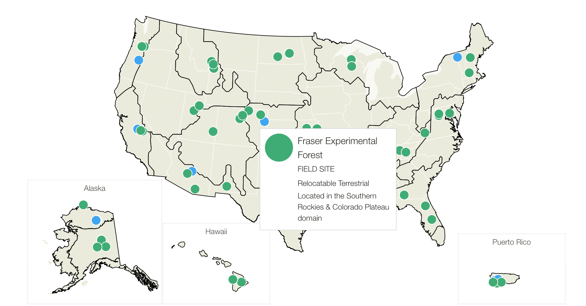
NEON Ecology-Monitoring Project Needs New Management
The National Science Foundation (NSF) is seeking a new organization to build its National Ecological Observatories Network (NEON), as it has lost confidence in NEON Inc., which has been running the project since its inception in 2007.

Climate Scientists Studying Arctic with HALO Research Aircraft
Scientists from the German Aerospace Center (DLR) are investigating the complex processes involved in climate change and their impact on the polar atmosphere using the High Altitude and Long Range (HALO) research aircraft.
