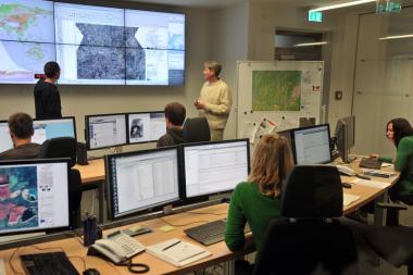
The German Aerospace Center (DLR) set up the EO4HumEn+ Project to better provide satellite data for humanitarian aid organizations worldwide.
The German Aerospace Center (DLR) set up the EO4HumEn+ Project to better provide satellite data for humanitarian aid organizations worldwide.
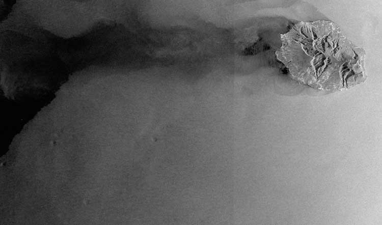
Focusing on The Netherlands and Denmark, scientists have been using radar images from the European Space Agency Sentinel-1A satellite to determine where ground is stable or how much it may be rising or sinking.
On June 13, 2016, Airbus Defence and Space formally introduced its One Atlas, One Tasking initiatives to help make satellite data access and procurement easier and more efficient for users.
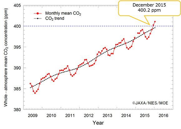
A recent analysis of data from the Greenhouse gases Observing SATellite IBUKI (GOSAT) shows that the global atmospheric monthly mean CO2 concentration observed vertically through the whole atmosphere exceeded 400 ppm in December 2015 for the first time since GOSAT was launched in 2009.
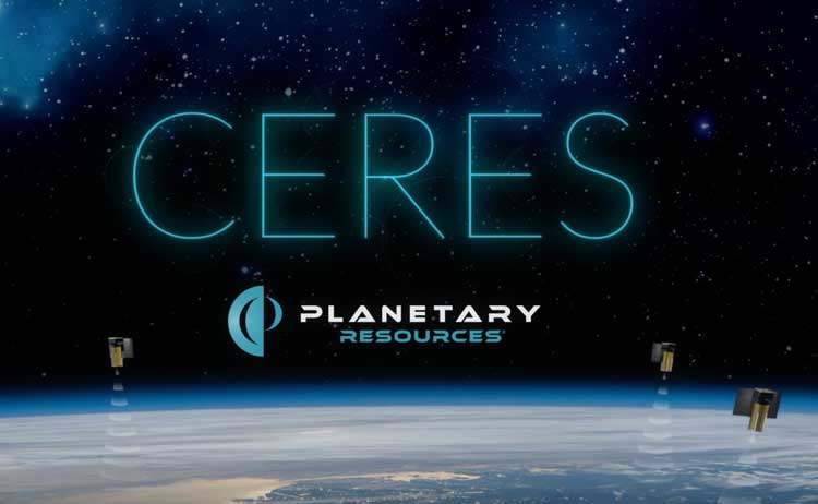
Asteroid-mining company Planetary Resources secured $21.1 million in Series A funding that will be used to deploy and operate Ceres, an Earth-observation business that features a commercial infrared and hyperspectral sensor platform to better understand and manage natural resources.
The European Space Agency (ESA) released the first Sentinel-1 satellite images sent via the European Data Relay System (EDRS), also known as the SpaceDataHighway. The two radar images were taken over La Reunion Island and its coastal area.
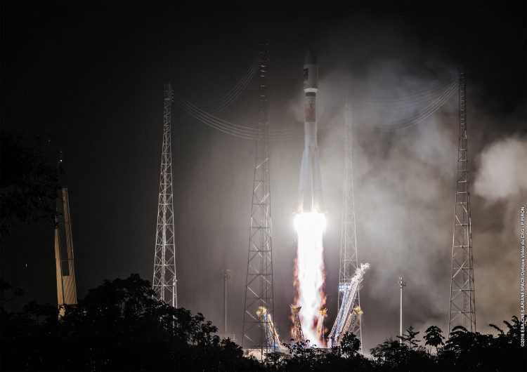
The European Union-funded Galileo satellite navigation system added its 13th and 14th satellites after a successful launch atop a Soyuz rocket from French Guiana on May 24, 2016. Nearly four hours after liftoff, the twin Galileos were deployed into orbit approximately 23,522 kilometers above Earth.
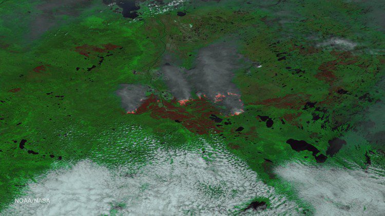
The Alberta Ministry of Agriculture and Forestry reports that the Fort McMurray wildfire is now estimated to be more than 522,892 hectacres in size (1,292,094 acres”an area larger than the state of Rhode Island).
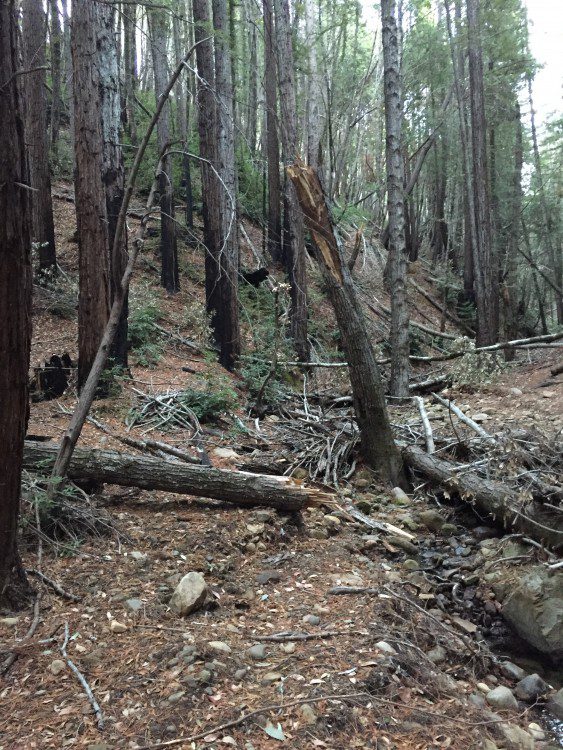
According to aerial surveys conducted by the U.S. Forest Service in summer 2015, the recent California drought resulted in millions of dead trees, mainly in the state's Sierra Nevada mountain regions. NASA researchers found that years of California's drought conditions, however, have not slowed the regrowth of tree and shrub cover in some areas burned by wildfires.

Satellite readings show that atmospheric methane and carbon dioxide are continuing to increase despite global efforts to reduce emissions. Methane concentrations were somewhat constant until 2007, but since then have increased about 0.3 percent per year, whereas global carbon dioxide levels continue to rise at about 0.5 percent per year.
