As the German air force maps out its future unmanned aircraft plans, it's looking to acquire up to four high-altitude unmanned aircraft for wide-area surveillance.
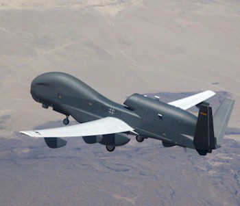
As the German air force maps out its future unmanned aircraft plans, it's looking to acquire up to four high-altitude unmanned aircraft for wide-area surveillance.
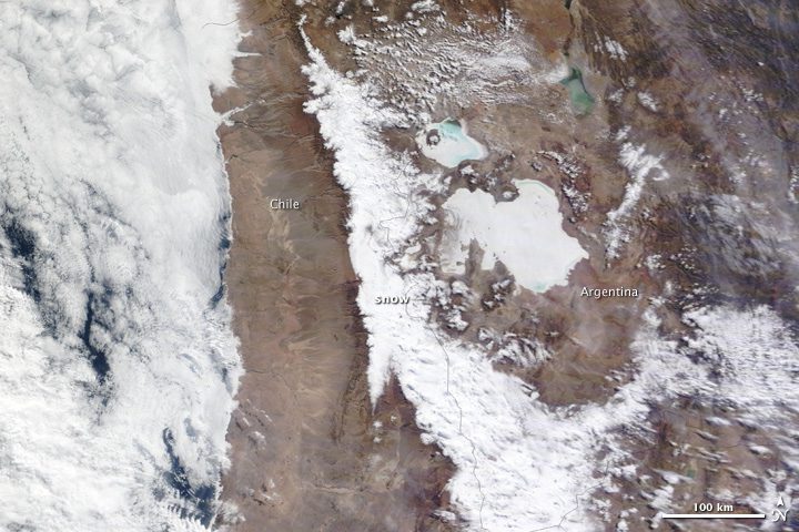
Images acquired by NASA'S Terra satellite provide natural and infrared views of a rare blanket of snow covering South America's Atacama Desert.
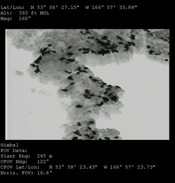
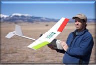
Using an unmanned aircraft originally designed to protect U.S. Navy SEALS during beach assaults, scientists seek insights about the decline in western Alaska's Stellar sea lion population.
One of the topics discussed: Are Earth observing UAVs a threat or an opportunity to private aerial imagery acquisition firms?
GeoEye will provide Russia's ScanEx with more than 50 million square kilometers of high-resolution satellite imagery for international customers in Russia and neighboring countries.
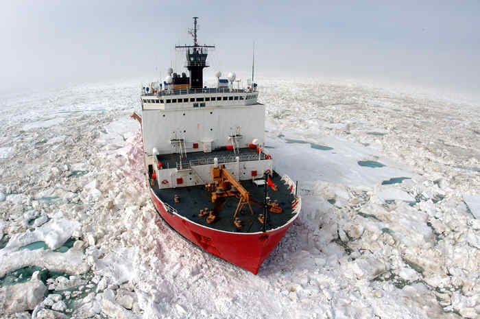
Even though icebreakers are designed to cut through thick ice, it burns more fuel and makes patrols longer. The Coast Guard hopes UAVs can help icebreakers plan easier routes.
The U.S. Geological Survey (USGS) recently conducted its first unmanned aircraft system (UAS) mission using a Raven RQ-11A small UAS to count sandhill cranes in southern Colorado.
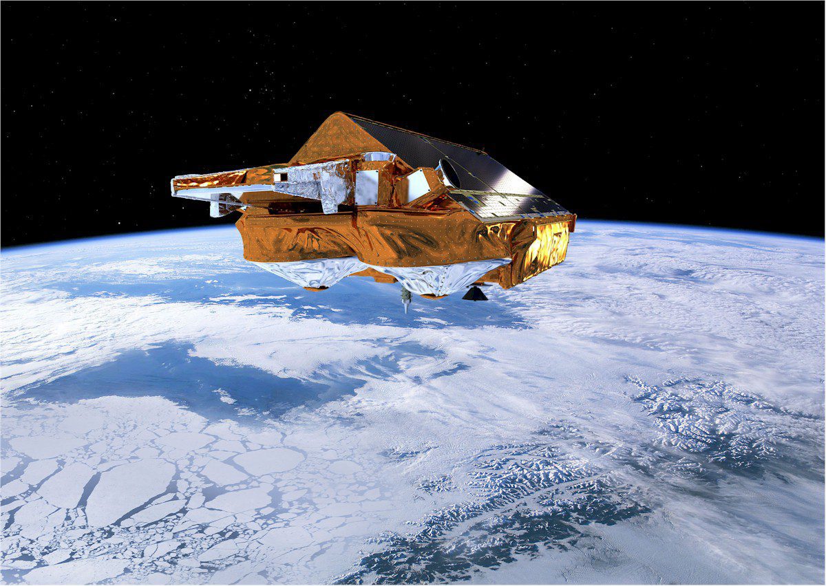
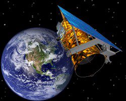
The first map of sea-ice thickness from the European Space Agency's CryoSat mission is designed to change our understanding of the complex relationship between ice and climate.
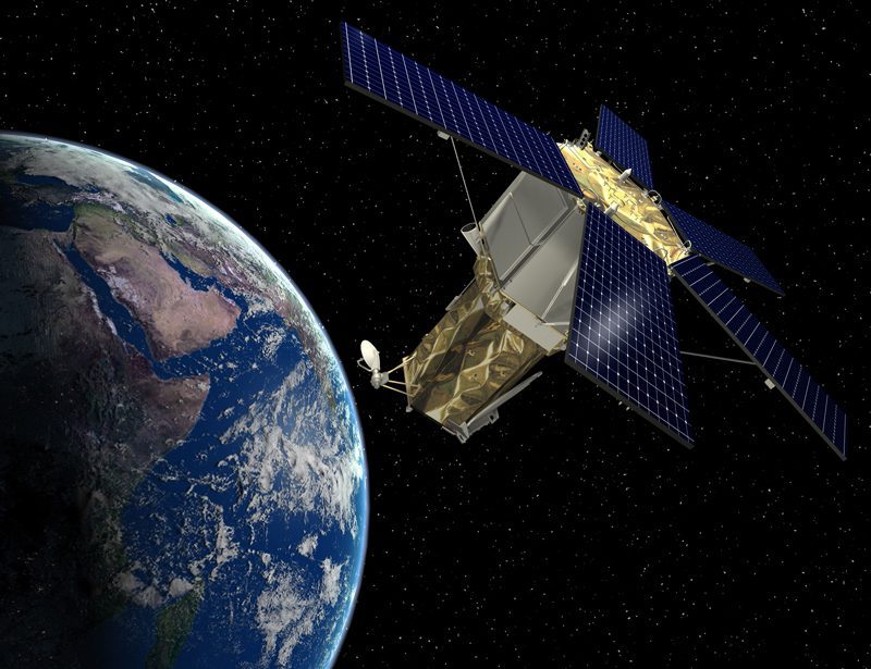
The Lockheed Martin team developing GeoEye's next-generation, high-resolution Earth imaging satellite has successfully completed the space system critical design review two weeks ahead of schedule.

U.S. military successes with drones have changed strategic thinking worldwide and spurred a global rush for unmanned aircraft.
