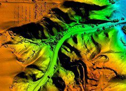
Woolpert says its Cessna plane equipped with a Leica LiDAR system and a large-format digital camera is the first such aircraft to be based in Texas.
Woolpert says its Cessna plane equipped with a Leica LiDAR system and a large-format digital camera is the first such aircraft to be based in Texas.

Astrium signed a contract with Hong Kong's Spatial Technology Limited to provide precise surface movement monitoring information for the construction of a 3.5-km tunnel on Hong Kong Island.
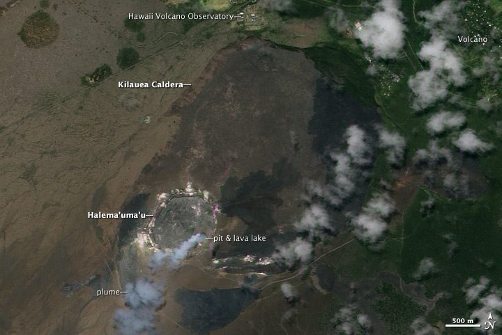
A natural-color satellite image shows the summit of Kilauea Volcano, near the southern coast of the Big Island of Hawaii.
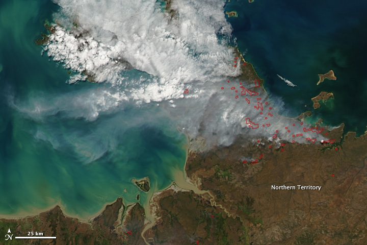
NASA's Aqua satellite shows fires burning in the Murgenella Wildlife Sanctuary, which is adjacent to Kakadu National Park.

In Central Florida, small unmanned aircraft systems could be a boon for citrus growers trying to spot citrus greening, a disease that currently is wreaking havoc on Florida’s $9 billion-a-year citrus industry.
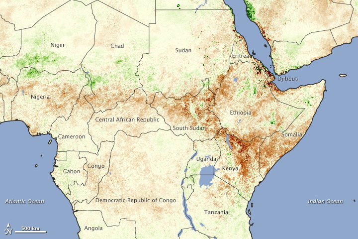
An image compiled from data from the NOAA-18 POES satellite shows how severe drought in Africa is responsible for the continent's worst food crisis in 20 years.
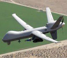
A new air corridor to be reserved exclusively for unmanned aerial drones could turn Oklahoma into the prime drone development region of the United States.

Every Monday and Friday, DigitalGlobe releases images of oil floating-top tanks in Cushing, Okla., the physical delivery point for the New York Mercantile Exchange oil futures and contracts.
The company's stock price surged 15 percent on July 26 on takeover rumors.
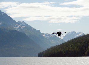
The use of unmanned aerial vehicles will have a new role in oil spill response capabilities in Alaska.
