The military's imagery users are benefiting from commercial satellite technologies such as Google Earth and the movie industry's need to file digital images so they can be accessed and reused.

The military's imagery users are benefiting from commercial satellite technologies such as Google Earth and the movie industry's need to file digital images so they can be accessed and reused.
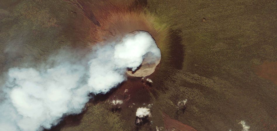
Several volcano images collected by the GeoEye-1 satellite have been in the news recently. Here are a few more volcano images from the satellite.
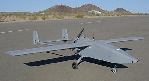
Gov. Mary Fallin has charged a panel of public and private experts with formulating an aggressive plan for the state's unmanned aerial system development.
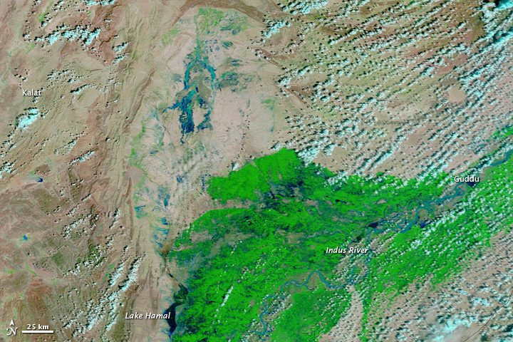
BBC news reports that floods in early September affected at least 5 million people across Pakistan, and thousands of rice, cotton and sugarcane crops had been lost.

The agency is providing imagery and LiDAR data as they become available, allowing the public to get a close look at homes and neighborhoods.
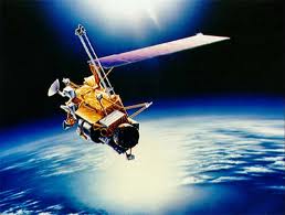
Watch out below”when NASA's Upper Atmosphere Research Satellite re-enters Earth's atmosphere either later this month or in early October, not all of it will burn up.
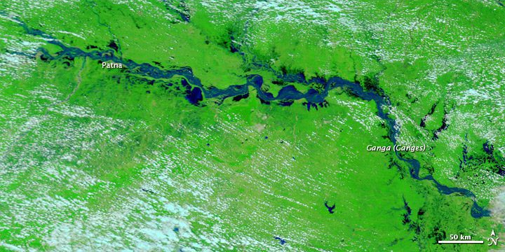
After experiencing two years of drought, things are changing rapidly for villagers living along the Kosi and Ganga rivers in the state of Bihar.
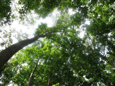
Through September 2011, NASA's P-3 research aircraft will continue flying from Quebec to Florida to measure the 3-D structure and carbon storage capacity of North American forests.
That's how James Grimsley, president and CEO of Design Intelligence Inc., describes the initial economic opportunities for unmanned aircraft in the civilian world.
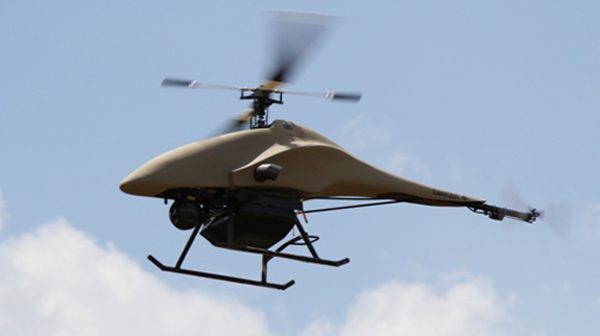
The Department of Homeland Security has awarded the Sheriff's Office of Montgomery County, Texas, a grant for a squadron of ShadowHawk unmanned aircraft.
