Tel Aviv, Israel – November 3, 2015 — VisionMap, a leading provider of aerial survey and mapping systems, announced that its A3 Edge Digital Mapping System was recently used to map wildlife in Uganda's Murchison Falls National Park. A3 Edge provides an efficient...
Red Cross Offers Interactive Tool to Access and Track Live, Wildfire Information
WASHINGTON, D.C., Thursday, Sept. 18, 2015 — The American Red Cross has launched an interactive online map that consolidates multiple sources of disaster data into a real-time, interactive tool to get information and updates about the Western Wildfires. The tool is...
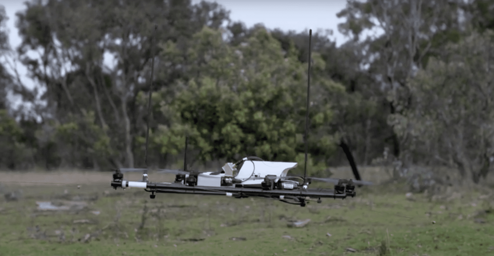
Drones Used to Track Wildlife
Researchers at The Australian National University and The University of Sydney developed a radio-tracking drone to locate radio-tagged wildlife.
UCI, NASA Researchers Find Link Between Amazon Fire Risk, Devastating Hurricanes
Irvine, Calif., August 20, 2015 — Researchers from the University of California, Irvine and NASA have uncovered a remarkably strong link between high wildfire risk in the Amazon basin and the devastating hurricanes that ravage North Atlantic shorelines. The climate...
FAA: Wildfires and Drones Don't Mix
WASHINGTON, July 29, 2015 — Responding to recent incidents in which unmanned aircraft systems (UAS), also known as “drones,†interfered with manned aircraft involved in wildland firefighting operations, the U.S. Department of Transportation’s Federal Aviation...
