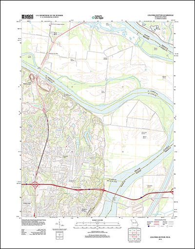
U.S. Geological Survey has publicly released more than 161,000 digitally scanned historical maps spanning more than 130 years and covering the coterminous lower 48 states.


U.S. Geological Survey has publicly released more than 161,000 digitally scanned historical maps spanning more than 130 years and covering the coterminous lower 48 states.