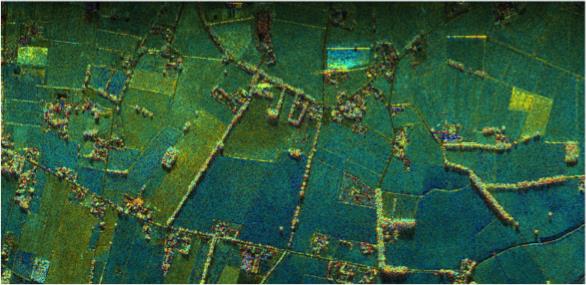
A novel airborne experiment over the flat agricultural landscape of The Netherlands recently simulated, for the first time, images that could be taken by radar satellites orbiting in tandem.
A novel airborne experiment over the flat agricultural landscape of The Netherlands recently simulated, for the first time, images that could be taken by radar satellites orbiting in tandem.
Focusing on The Netherlands and Denmark, scientists have been using radar images from the European Space Agency Sentinel-1A satellite to determine where ground is stable or how much it may be rising or sinking.
