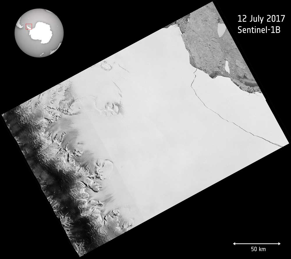
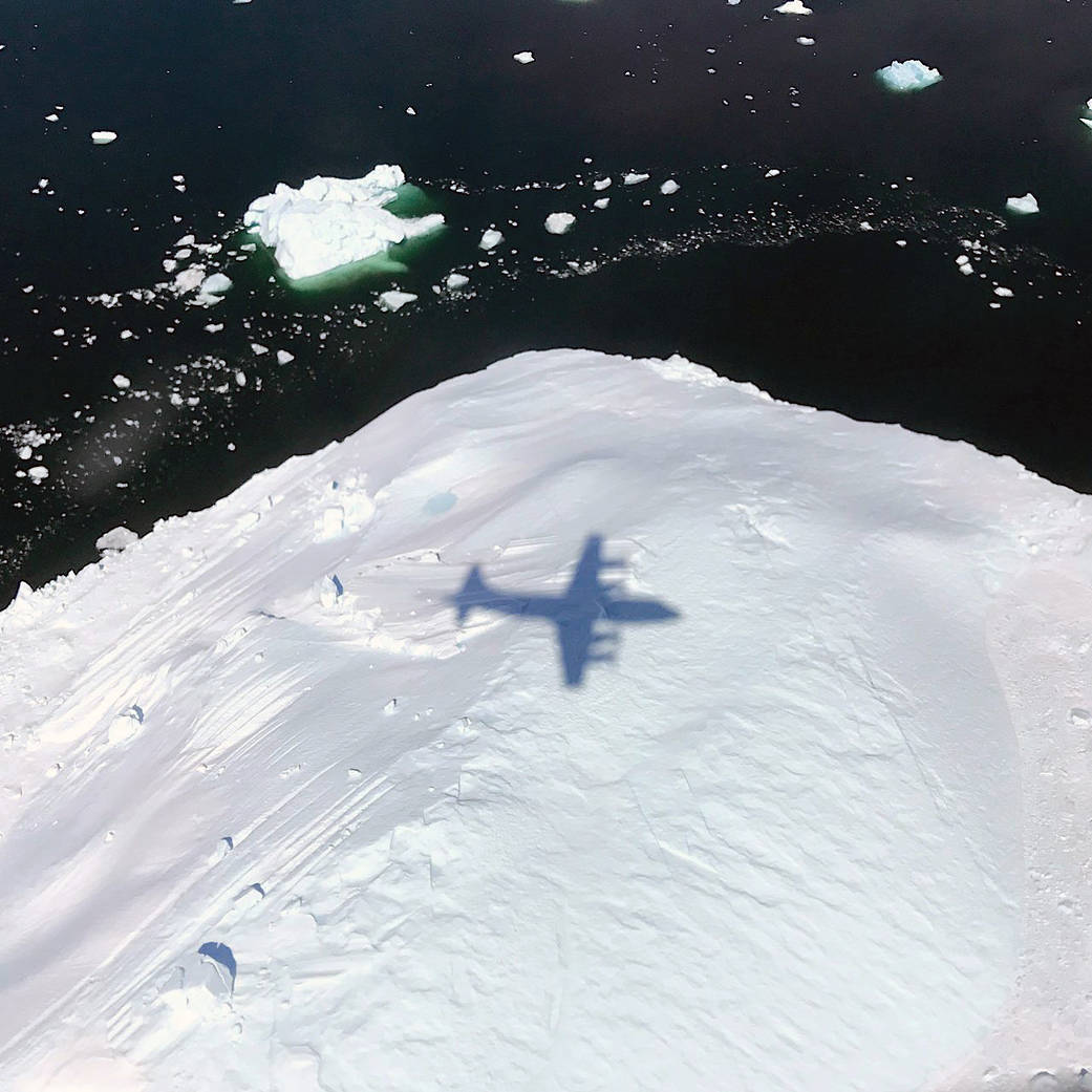
Over the last few months, a chunk of Antarctica's Larsen C ice shelf has been hanging on precariously as a deep crack cut across the ice. Witnessed by the European Space Agency (ESA) Copernicus Sentinel-1 mission, a lump of ice more than twice the size of Luxembourg finally broke off on July 12, 2017.
Satellites See One Fire, Two Plumes
In July 2017, sweltering temperatures and strong winds fueled intense wildfires in southern California. The fires forced thousands of people to flee their homes, charred dozens of structures, closed roads and darkened skies throughout the region with thick smoke.
Winds Trigger Pond Growth
A new study shows that winds are responsible for the widespread growth of ponds in three watersheds along the Mississippi River.
Visualization of August 2017 Total Solar Eclipse
On Aug. 21, 2017, the Earth will cross the shadow of the moon, creating a total solar eclipse. Eclipses happen about every six months, but this one is special. For the first time in almost 40 years, the path of the moon’s shadow passes through the continental United States.
Pre-Landslide Movements Found on Radar
On May 20, 2017, more than a million tons of dirt and rock buried part of California's Highway 1 along the Pacific coastline in the state's Big Sur region. In addition to cutting off the route, the landslide added some 12 acres of land to the shoreline.
Turquoise Swirls in the Black Sea
Most summers, jewel-toned hues appear in the Black Sea, a result of phytoplankton that trace the flow of water currents and eddies. The Moderate Resolution Imaging Spectroradiometer (MODIS) on NASA's Aqua satellite recently collected imagery of such an ongoing phytoplankton bloom.
Drone Technology Optimizes Vineyard Performance
Noveltis, a French company, has been using SimActive's Correlator3D software to help with precision viticulture. Based on multispectral drone imagery, mapping products are generated to determine vine health and detect missing plants.
Satellites Provide Insight to Burundi Coffee Growers
Earth-i teamed with WeatherSafe to support coffee farmers of Burundi through Earth-i's ACCORD program, which combines high-resolution satellite imagery with crop analysis to provide stakeholders with critical insights on key coffee farming decisions to improve crop quality, thereby supporting sustainable growth for coffee farmers large and small.
Monitoring Grasslands for Agricultural Subsidies
Grasslands cover approximately 37 percent of Earth's land surface when calculated with shrub-lands and savannas. In Western Europe, grasslands comprise 40 percent of agricultural land. And now European Space Agency (ESA) Copernicus Sentinel satellites are being used to detect and better evaluate management practices of grasslands in Estonia.
Shadows Across Arctic Iceberg
The shadow of NASA’s P-3 aircraft is seen over an iceberg on a May 8, 2017, flight supporting NASA’s Operation IceBridge mission. IceBridge began its final week of Arctic Spring 2017 surveys with a glacier-packed mission in Greenland.