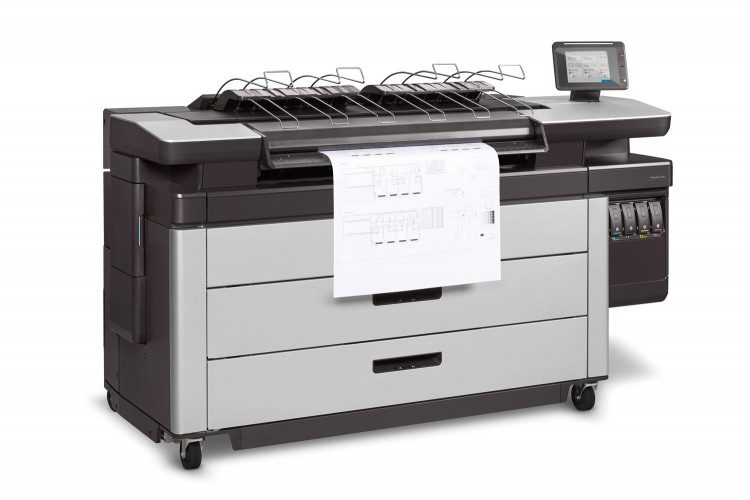
HP®, Inc. (HP®) acknowledges the unique missions of government by offering a comprehensive portfolio of services and solutions for Public Sector agencies and organizations.
HP®, Inc. (HP®) acknowledges the unique missions of government by offering a comprehensive portfolio of services and solutions for Public Sector agencies and organizations.
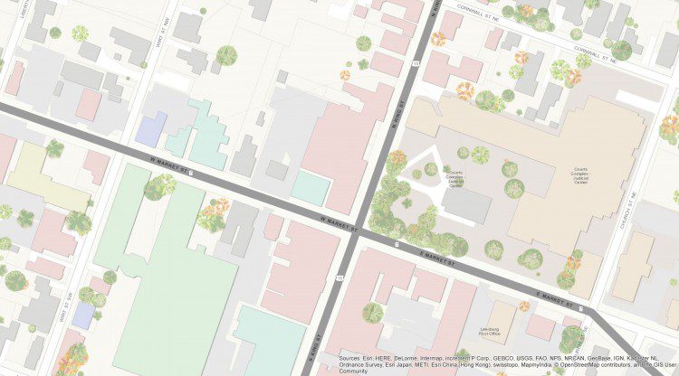
Loudoun County, Va., located within the Washington, D.C., metropolitan area, is approximately 520 square miles and has been one of the fastest-growing U.S. counties for the last decade. The county's eastern portion is developing rapidly, while many western areas remain rural. This rapidly changing landscape and growing population have necessitated aggressive maintenance of the county's base map, and aerial imagery is playing a major role.
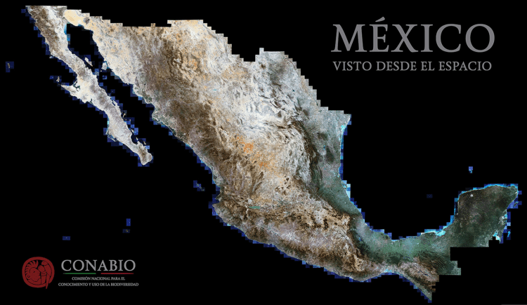
Mexico is among the ambitious countries that committed to the Tier 3 requirements of the Reduce Emissions from Deforestation and Degradation (REDD+) international conservation mechanism. At all tiers, REDD+ involves estimating carbon stocks in forests as well as management practices that improve a forest's carbon-carrying capacity.
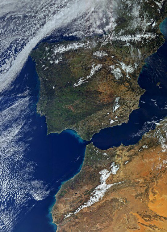
On Feb. 16, 2016, the European Space Agency (ESA) Sentinel-3A satellite was successfully launched from the Plesetsk cosmodrome in northern Russia. Sentinel-3A carries a suite of instruments that will measure Earth's oceans, land, ice and atmosphere, providing information in near-real time for ocean and weather forecasting as part of Europe's Copernicus program.
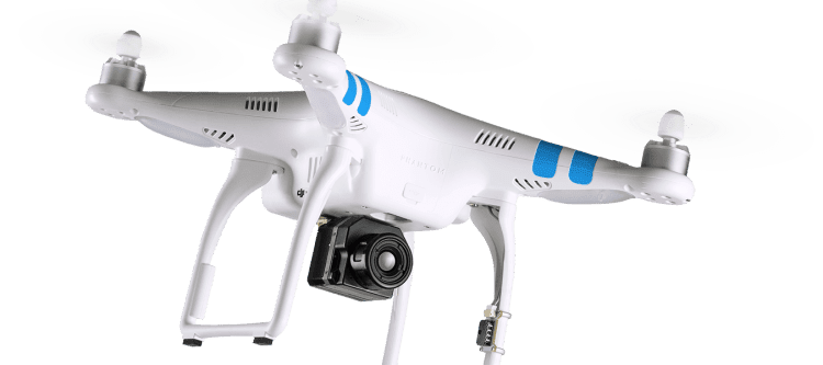
Established in 1978, FLIR Systems designs, develops, manufactures, markets and distributes systems for thermal imaging, visible-light imaging, measurements and diagnostics, and advanced threat detection.
V1 Editorial Director Matt Ball spoke with Mladen Stojic, president of Hexagon Geospatial, about this transition and the IGNITE contest with significant prize money to spur developers to create applications using the platform.

I recently had the distinct pleasure of addressing the U.S. Park Service, and U.S. Fish and Wildlife Service Geospatial Training Workshop at the National Conservation Training Center outside Shepardstown, West Virginia. The talk was an overview of how far we've come as well as where we're headed in terms of remote-sensing inputs and geospatial understanding.

In 2015, I developed and taught a free Massive Open Online Course (MOOC), Geospatial Intelligence (GEOINT) and the Geospatial Revolution, to help broaden the discipline. When I began outlining the course, I asked several in the community, what should be the focus of the MOOC? The common reply was teach the principles.
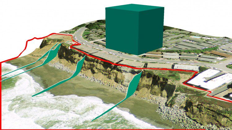
Coastal erosion is a persistent problem along the California coast that can drastically affect local communities. In the last 20 years alone, erosion has taken a particularly high toll in Pacifica, Calif. Through wind, rain and wave action, the scenic bluffs that line the ocean in this beachside town have continued to retreat to a point where local homes have been evacuated and condemned for demolition.
Right now, it's kind of a Wild West out there, says Scott Simmons, executive director of the Standards Program of the Open Geospatial Consortium (OGC).
