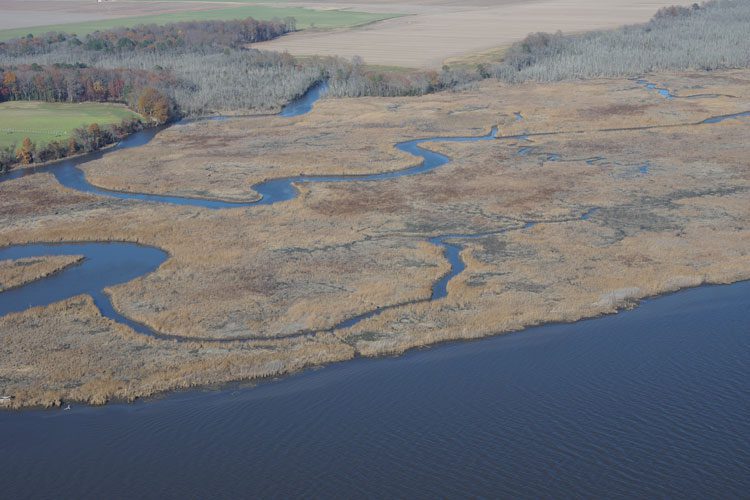
Building on the practice of precision agriculture and exploiting recent computer advances, the Chesapeake Conservancy (CC) is developing open-source geoprocessing and analysis tools that help environmental nonprofits and local-government agencies prioritize conservation and restoration decision making. From creating new, high-resolution land-cover data and flow-path analyses based on LiDAR elevation data to developing custom Web applications, it's giving partners with little or no expertise in GIS or complex modeling access to large-scale data and modeling produced by state and federal agencies as well as larger non-governmental organizations (NGOs).