Redlands, California —Esri has presented Loudoun County, Virginia with an award for 30 years of excellence in geographic information system (GIS) technology, during which time the county has continuously innovated how it delivers smarter, better government services....
Keeping the County Current: A Remote-Sensing and GIS Approach to Base Mapping
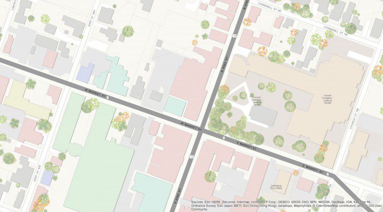
Loudoun County, Va., located within the Washington, D.C., metropolitan area, is approximately 520 square miles and has been one of the fastest-growing U.S. counties for the last decade. The county's eastern portion is developing rapidly, while many western areas remain rural. This rapidly changing landscape and growing population have necessitated aggressive maintenance of the county's base map, and aerial imagery is playing a major role.
