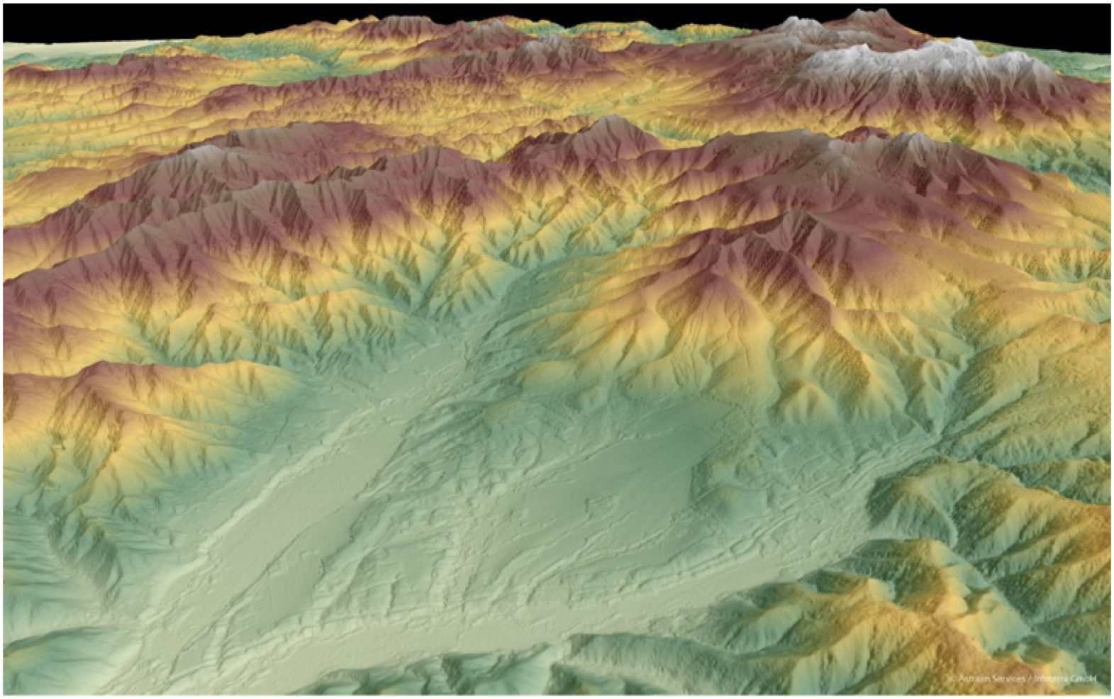
Whether planning an infrastructure network, conducting a military intervention mission in unknown terrain or analyzing terrain features for oil and gas exploration, precise, reliable elevation data support a wide range of applications and form the foundation of any accurate geospatial product.