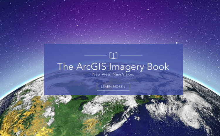
The ArcGIS Imagery Book is a new multimedia compilation published by Esri to help readers understand how imagery and remote sensing power modern GIS technology.


The ArcGIS Imagery Book is a new multimedia compilation published by Esri to help readers understand how imagery and remote sensing power modern GIS technology.