NASA's Operation IceBridge scientists have wrapped up another season of their six-year polar ice survey. After weeks of cruising low over the ice, they usually return with stacks of jaw-dropping photos of rarely seen parts of the world”this spring's expedition was no exception.

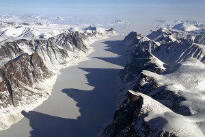
IceBridge Project Scientist Michael Studinger photographed this ice-covered fjord on Baffin Island, with Davis Strait in the background.
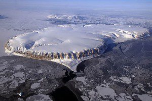
The IceBridge team's destinations this spring included Greenland, Alaska and the Arctic Ocean. During a series of flights between March 18 and May 2, scientists aboard NASA's P-3B flying laboratory got close-up views of everything from sea ice to tidewater glaciers to ice caps.
As always, the belly of the plane was packed with radars, altimeters, gravimeters and an array of sensors designed to yield a 3-D view of Arctic ice. But scientists on the plane also had some less exotic sensors with them”cameras!
Images courtesy of NASA/Michael Studinger.
View more photos from Michael Studinger, IceBridge project scientist.


