Maritime Security
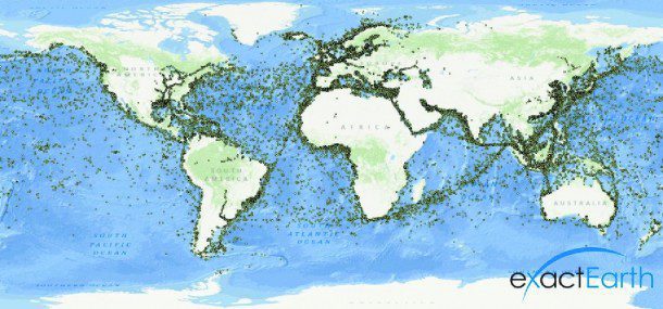
With the recent launch of the exactView-1 (EV-1) micro-satellite and the announcement of a new premium service that fuses multiple sources of ship Automatic Identification System (AIS) data from space and land, the complete maritime picture never has been more achievable or more comprehensive.
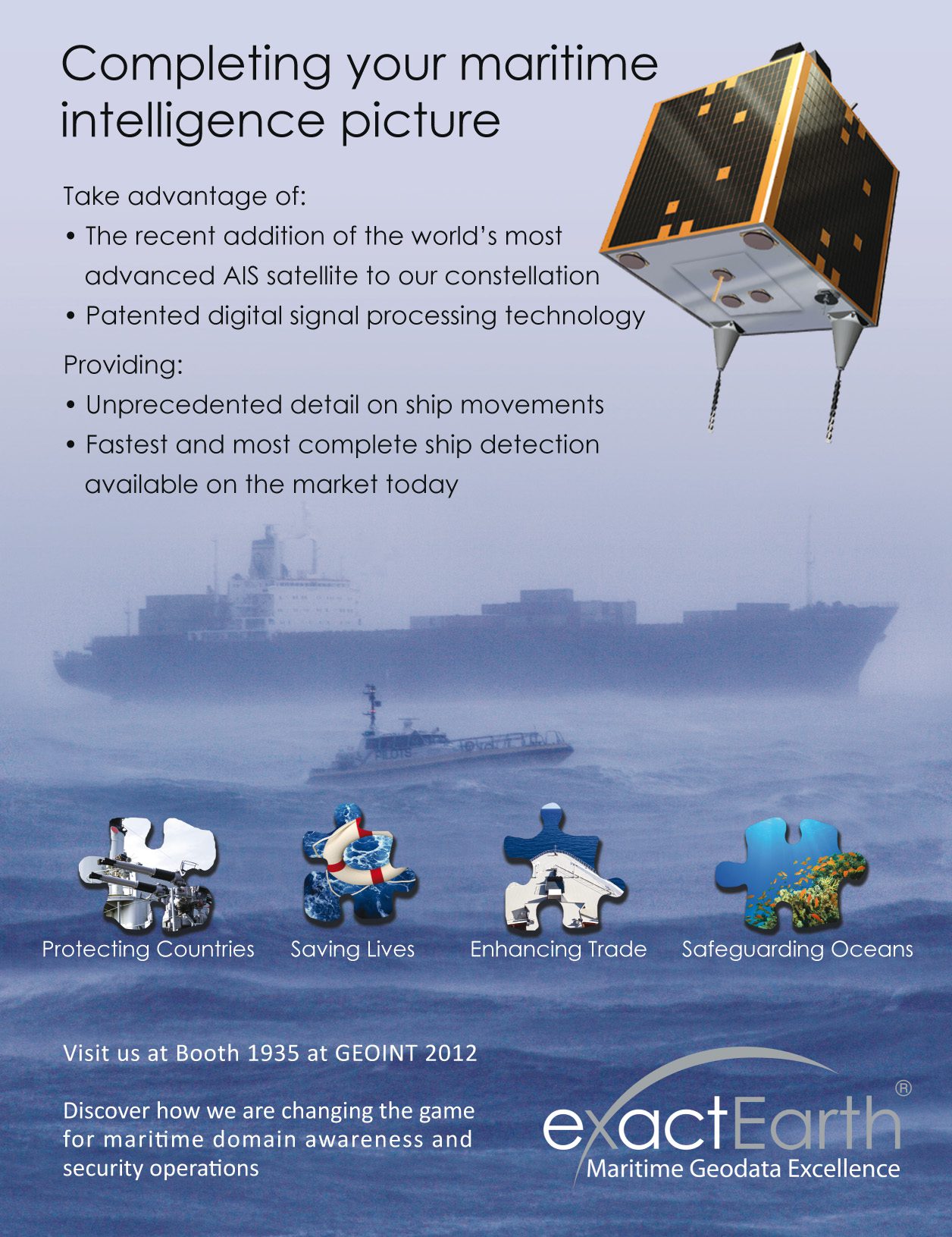
EV-1 is the most advanced space-based AIS receiver ever launched and represents a quantum leap forward in maritime AIS message detection in space, capturing significantly more ships in a single orbital pass, even in the densest shipping areas. This new addition to the satellite constellation, coupled with existing and patented advanced signal processing and de-collision technology, now delivers unprecedented levels of detection and detail on global ship movements faster than ever before.
Such near real-time information demands fast delivery methods to ensure the benefits are seen at the front-line in C2 and other critical operational systems, building a common operating picture of the maritime domain. As a result, exactEarth also is making such AIS data available quickly and securely across the Internet using open standard Web services. This means existing systems can assimilate and fuse the AIS data instantly and without costly modifications. By allowing computer systems to communicate with each other without human interference, requesting and receiving the relevant data as required, rapid awareness and better decision-making capabilities right at the heart of maritime operation centers become a reality.
A specific example where this will be seen to have a major impact is in ship identification on radar imagery. EV-1's advanced detection capabilities, coupled with unique de-collision techniques and on-demand access across the Internet, now deliver a new and unparalleled performance standard that allows AIS and radar to be fused quickly and efficiently. Such functionality provides organizations with the ability to highlight suspicious and unidentified shipping rapidly and respond accordingly.
By receiving multiple messages from every ship on every orbital pass, a complete picture of global ship movements and behaviors becomes possible even in remote and fragile areas such as the Arctic.
This consistently high quality and quantity of data also enables uses such as identifying possible illegal fishing and environmental violations. Comprehensive satellite AIS data provide users a complete picture of ship traffic and its impact on environmentally sensitive areas across the globe and enable more efficient use of existing and expensive surveillance techniques. Competent maritime authorities around the world are recognizing that satellite AIS is essential for long-range ship reporting requirements, and most are moving to officially recognize AIS in their respective ship reporting paradigms.
Satellite AIS is still relatively new to many, but recent advancements are making it hard to ignore. As exactEarth continues to improve its constellation, detection methodologies and delivery capability, the view from space grows ever more comprehensive and applicable. These improvements are changing our world and will give birth to new and improved applications that improve maritime safety, efficiency and environmental protection around the world.
For more information, visit www.exactearth.com.


