The Open Geospatial Consortium (OGC) is considering developing a Professional Certification program. The program would allow individuals to achieve certification that confirms their competency in specific OGC standards. The program would therefore focus primarily on OGC standards, thereby avoiding overlap with certification programs offered by OGC members and alliance partners.
The OGC invites you to complete an online survey to help improve our understanding of the potential market for such a professional certification program. The survey will be open for responses until April 5th 2018.
One of the benefits of the OGC Professional Certification program would be to give employers greater confidence in the competency of individuals in using and implementing OGC standards. The program would also give consultancy service buyers greater confidence in the services provided by these individuals.
For OGC members that offer consultancy services, OGC professional certification would provide certification that distinguishes them from other consultants that provide OGC expertize. Further, training towards OGC Professional Certification could be an additional service that OGC members offer.
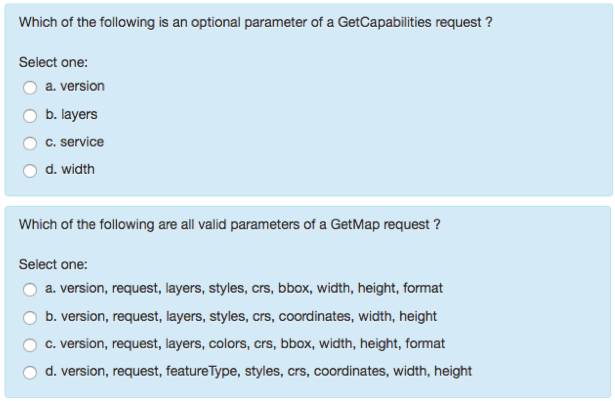
Certification examinations would be delivered through an online proctored service. The format will depend on the standard. The current planned approach includes multiple-choice questions, such as those for the Web Map Service (WMS) standard as seen here, as well as a practical test delivered through an online proctor.
The OGC thanks you in advance for your participation.
The survey is available online via Google Forms, and will close April 5th 2018.
Note that a version of this survey was issued to OGC members on March 1st, if you have already completed that survey there is no need to complete this one as the two are identical.
About OGC
The Open Geospatial Consortium (OGC) is an international consortium of more than 525 companies, government agencies, research organizations, and universities participating in a consensus process to develop publicly available geospatial standards. OGC standards support interoperable solutions that ˜geo-enable' the Web, wireless and location-based services, and mainstream IT. OGC standards empower technology developers to make geospatial information and services accessible and useful within any application that needs to be geospatially enabled. Visit the OGC website at www.opengeospatial.org.
