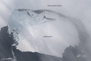
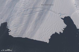
NASA scientists first detected a rift in the Pine Island Glacier in October 2011 during flights for Operation IceBridge. Between Nov. 9“11, 2013, a large iceberg finally separated.
By July 2013, infrared and radar images indicated that the crack had cut completely across the ice shelf to the southwestern edge. New images now show that Iceberg B-31 is finally moving away from the coast, with open water between the iceberg and the edge of Pine Island Glacier.
Image courtesy of NASA.


