The U.S. Geospatial Intelligence Foundation announced the recipients of its 2011 Scholarship Program, contributing $94,000 to students studying geospatial intelligence-related fields.

The U.S. Geospatial Intelligence Foundation announced the recipients of its 2011 Scholarship Program, contributing $94,000 to students studying geospatial intelligence-related fields.
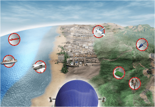
The new generation of unmanned aerial vehicles”or drones”will come in all shapes and sizes and behave more like Earth-observation satellites than airplanes.
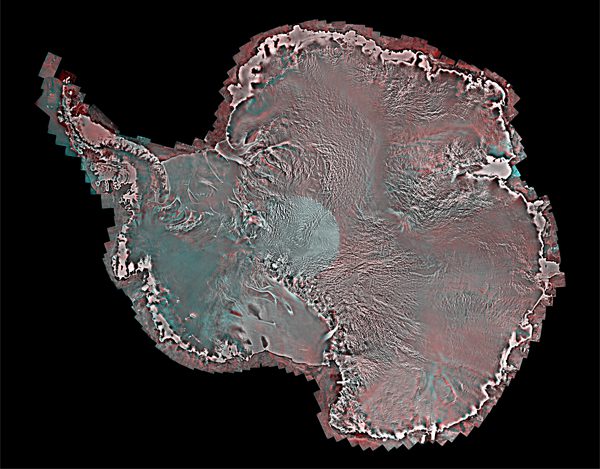
MDA’s Information Systems Group released a detailed new image of Antarctica for use in applications such as global climate change, shipping and transportation, exploration and environmental science.
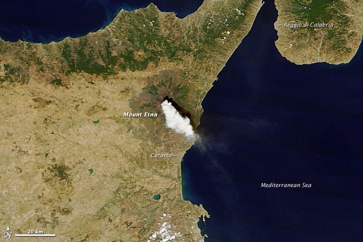
With a series of paroxysms, Mount Etna has reclaimed its status as one of the most active volcanoes on Earth.
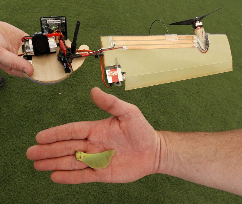
The seeds that drop from maple trees are the inspiration for a new kind of flying machine that could be useful for Earth observation.
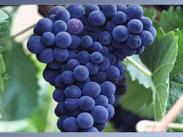
With only a month to go before the first harvest begins in France's Bordeaux region, winegrowers will make key decisions based on Astrium's infrared satellite imagery of their vineyards.
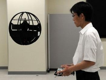
A beach ball-size drone can fly down narrow alleys, hover, take off vertically and even bounce along the ground”all while transmitting live images from a video camera.
Scientists have for the first time examined on a global scale how calcified algae react to increasing acidification due to higher marine uptake of carbon dioxide.
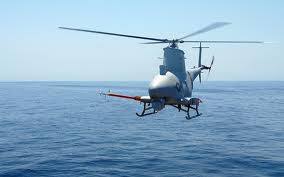
Despite early technical problems, the U.S. Navy reports its MQ-8B Fire Scout unmanned aerial system successfully tracked pirates and provided surveillance over Libya.
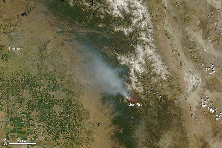
When NASA's Terra satellite snapped this image of the Lion Fire on July 28, the fire was approximately 15 percent contained and growing.
